A Day of Adventures
Adventure 1
Saturday, June 25th., we took off with one goal in mind. We wanted to check out Powell Springs Campground in Prescott National Forest. Generally we prefer to boondock but we're not opposed to a campground given the right conditions. In a short time we turned off of highway 169 onto Cherry Road and soon found the campground. Powell Springs is a small campground having only 11 sites and no amenities beyond picnic tables, fire pits and a vault toilet. It also has no fees. There were only 2 campers. We saw 2 gated dirt roads leading out of the campground providing hiking possibilities. Powell Springs was added to our list as a nearby camping destination. We'll be back. Goal accomplished.

Adventure 2
Now we were only 2 miles from Cherry with the rest of the day ahead of us. Despite having lived in this part of Arizona for nearly 6 years we had never been to Cherry so why pass up this opportunity? We enjoyed checking out the fire trucks of the volunteer fire department and the old graves in the cemetery. Cherry is small, remote and idyllic. We often ask each other when visiting new towns "Would you live here?". We decided that despite its' appeal Cherry is just a little too remote for us.

We continued on the road through Cherry, over the mountain, down past the Grief Hill Trailhead to highway 260. At that point we were only a few miles from Cottonwood. It was an easy decision to head on into town to Fire Mountain Wines and pick up a few bottles of our favorites.
Adventure 3
By then it was around noon, plenty of time for more adventure. We headed back on 260 to I17 then up the mountain to the 169 exit. Grateful to be off the interstate quickly, we turned left toward the forest and another road we had wanted to explore for some time. Soon we were back on the dirt traveling Forest Road 372. We were getting hungry and found a shady spot at a pullout. We set up our chairs and opened the cooler to enjoy a quiet lunch. One of the only 2 vehicles we saw on FR 372 came by.

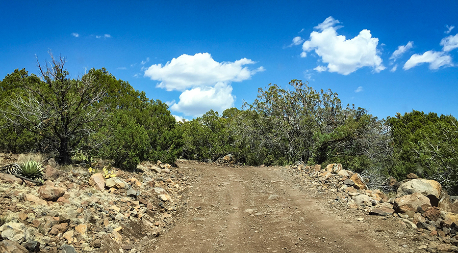
After lunch we continued on FR 732 scouting for boondocking spots as we drove and capturing GPS coordinates of anything that looked promising. We came to the intersection with FR 68D which leads to the ghost town of Dugas. We decided to save a trip to Dugas for another day and continued on FR 372 toward Squaw Peak. We made several stops to check possible campsites and admire the scenery. The last part of the road to the peak was narrow, very steep and very rocky. We are talking the 4-wheel-drive-low kind of steep and rocky. The photo below doesn't do it justice.

Where we came from.
At the top of the mountain modern technology is on full display as the peak is covered with communications towers. There was no clear way ahead so I scouted on foot. I only found tracks leaning to various tower installations and no other way off the mountain confirming what our map showed.

Scouted ahead on foot.
There was no place to turn around and Joni got lots of practice spotting me as I backed out to the last intersection. The good part about returning the way you came that you get to see the same thing from a different perspective and you already know the road. Soon we were back to the pavement of highway 169.
How to conclude a day of adventures
It was late afternoon and time to head toward home but we knew we would pass by Leff-T's Steakhouse. What better way to bring an great day to an end than by enjoying a meal at a favorite restaurant?
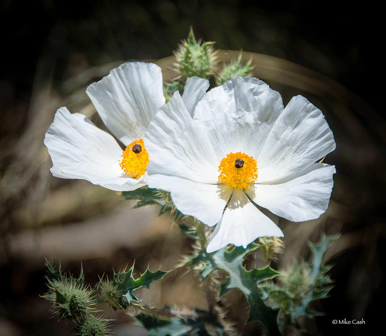
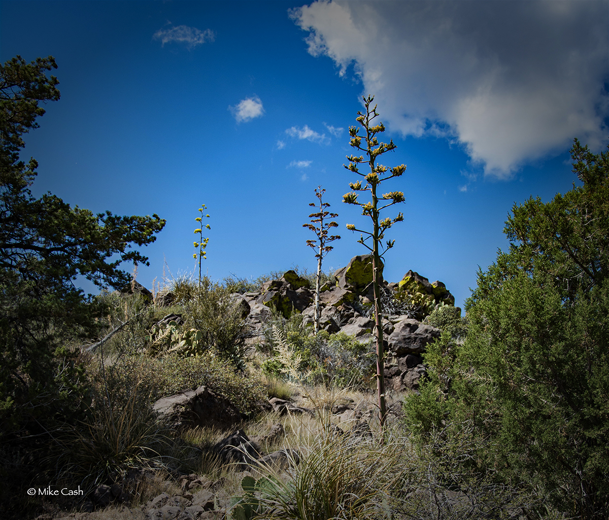
Below are a few more photos.